
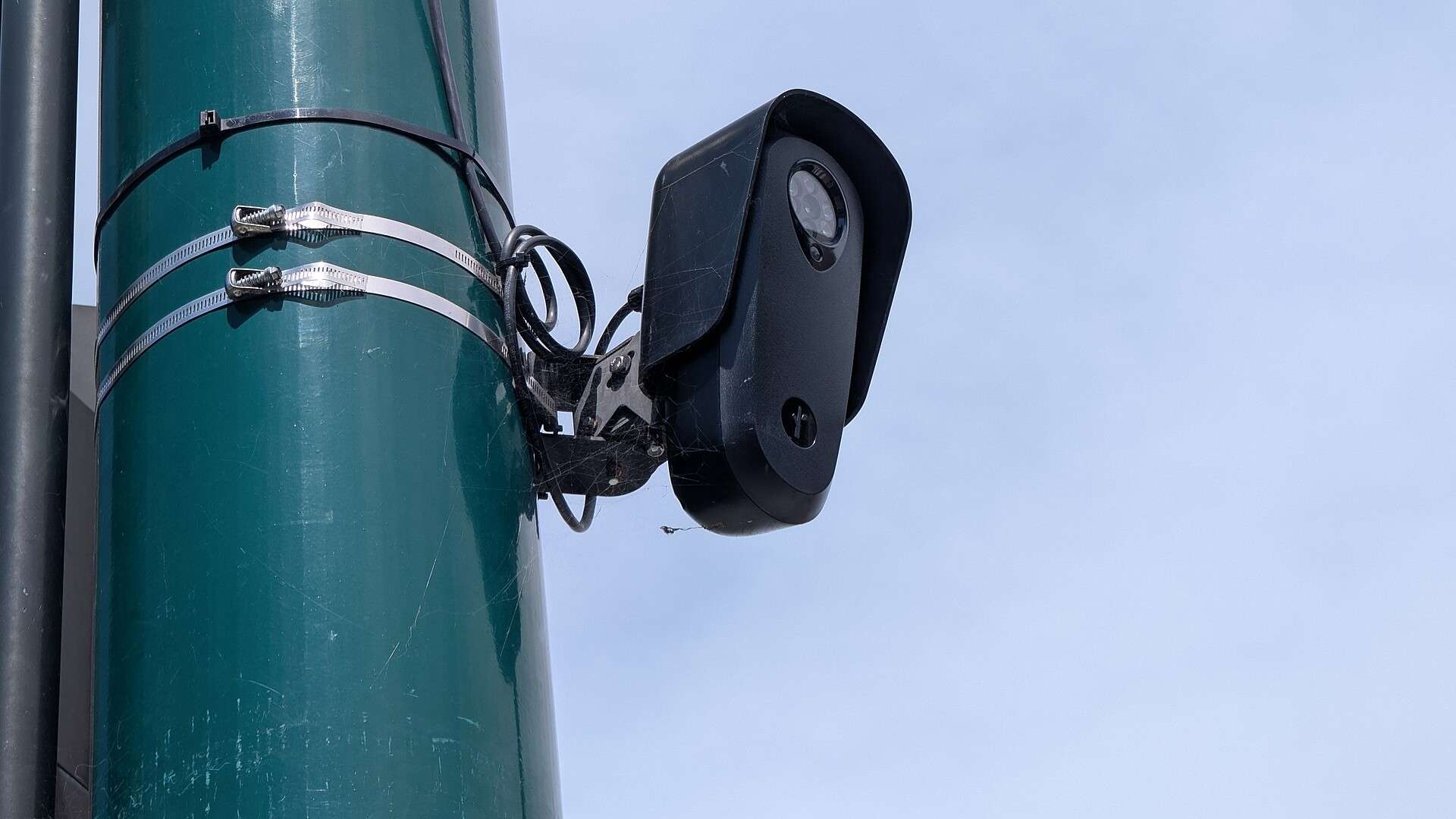
MapQuest’s help center now carries a four-step guide to its new Surveillance Layer, a map setting that scatters eye-shaped icons across your route. Step four is tapping the X. The guide, dated Oct. 19, 2026, does not say who supplied the locations, how current they are, or what an eye is supposed to mean.
What it does say is simple. According to MapQuest’s own instructions, the feature lives in the mobile app. You open the main map, tap the Map Layers button at the bottom right, just under the compass, scroll to “Surveillance” at the bottom of the list and switch it on. If the option isn’t there, the guide says to update the app. The map then displays eye-shaped surveillance indicators. The article stops there, and the MapQuest Surveillance Layer comes with no explanation of what the eyes represent.
Where the eyes could be coming from
MapQuest hasn’t said, and we couldn’t establish it. But the raw material for a map like this already exists in public. OpenStreetMap’s tagging guide for plate readers tells volunteers to drop a point at the camera and, where possible, record its direction, its mounting and who operates it. The page names Flock Safety as the largest U.S. vendor of the devices. The anti-Flock project DeFlock, which works from crowdsourced reports, had mapped more than 16,000 camera locations by February 2025, according to the Electronic Frontier Foundation, which represented its creator when Flock sent a cease-and-desist letter over the name.
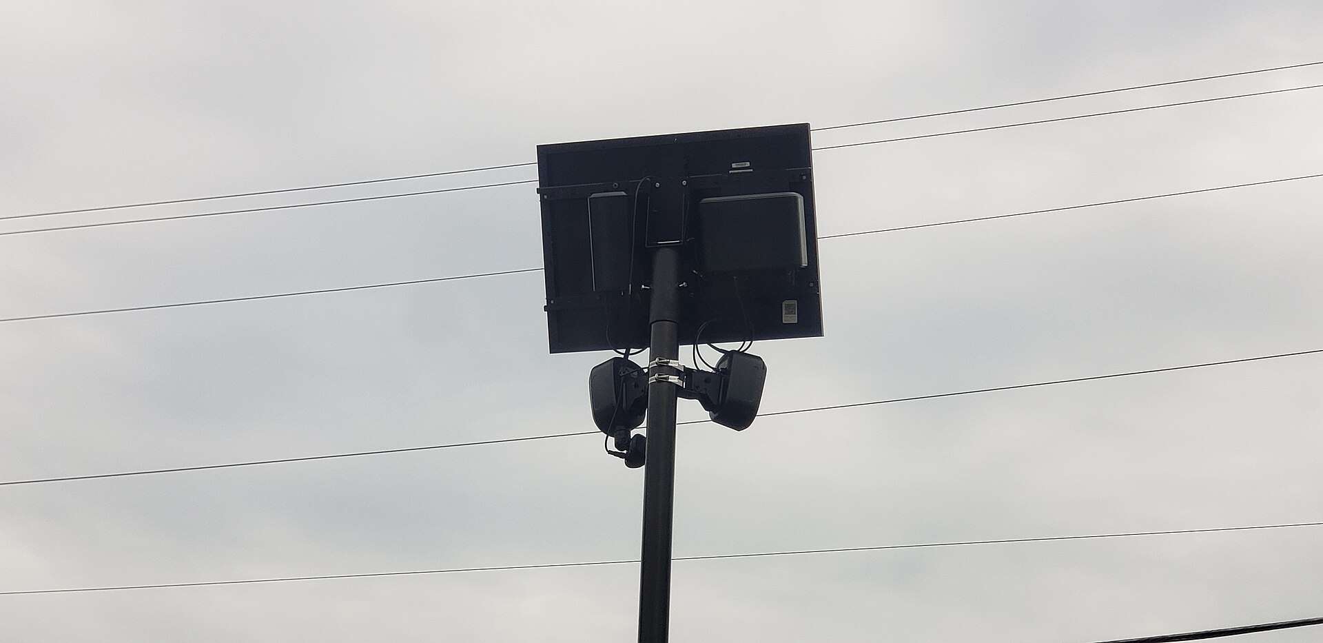
Other maps have taken a rougher path. The one we covered in our Oct. 2 report held 335,701 device records, and a brand-protection firm filed a trademark complaint asking for it to come down. MapQuest, by contrast, has put its version one tap away inside a mainstream navigation app.
What a camera on the map is recording
Flock’s own product page says its plate-reader cameras capture the plate, the vehicle’s characteristics, and the time and place it passed. The company says it doesn’t identify people by face or identify who is in a vehicle, that images are deleted after seven days by default unless law or an investigation requires otherwise, and that customers own the data. Customers can set a different retention period.
Whether that adds up to a lot or a little depends on who is asking. We’ve tracked the arguments in a Colorado lawsuit over one Rivian logged 20 times and in a teardown that turned up 1.6 million photos on a single camera.
The footnote the MapQuest Surveillance Layer needs
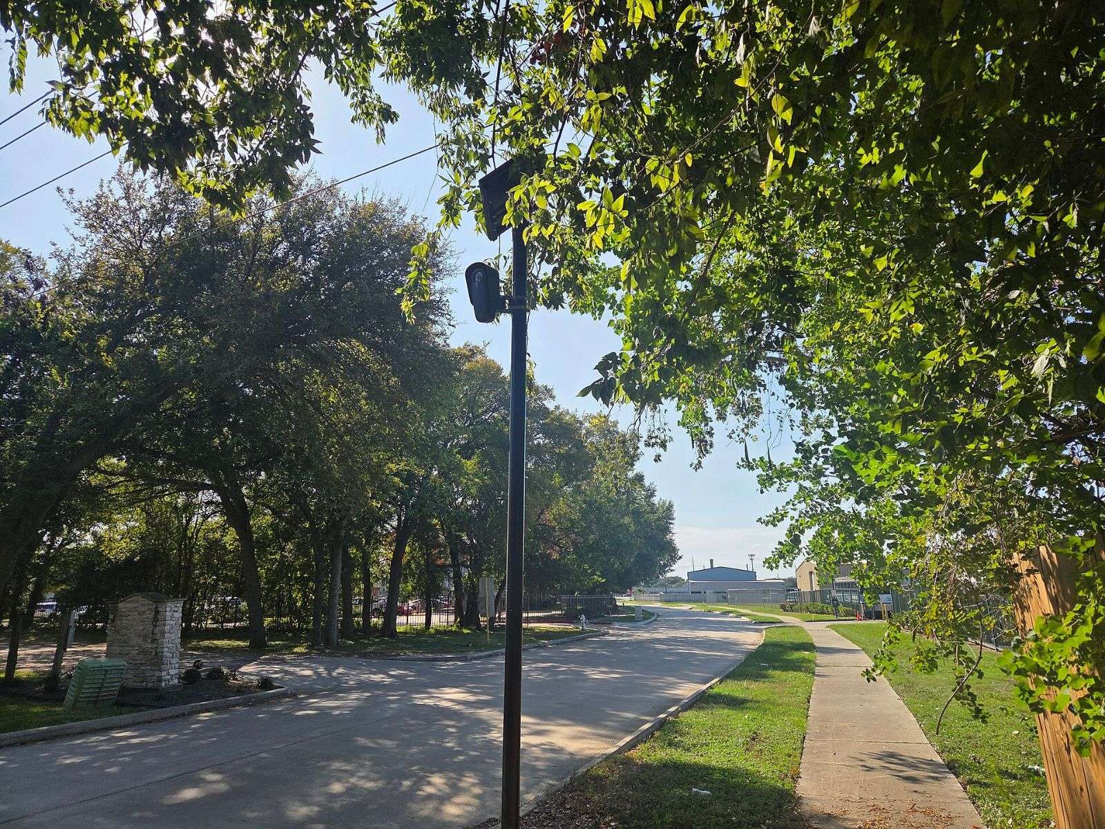
A map of reported cameras can only be as good as the reports behind it, and the Surveillance Layer doesn’t say what its reports are. An eye on MapQuest’s map presumably means somebody, somewhere, said a camera is there. A stretch of road with no eye means nothing more than that nobody has said so. MapQuest’s guide doesn’t address accuracy, so for now the layer is an awareness tool, not an inventory.
Navigation apps have spent years answering one question: how do I get there. This setting adds a second: who’s watching along the way. MapQuest published the how-to and skipped the footnotes.
If your phone could show every plate reader on your commute, would you switch the layer on, and would it change anything about how you drive?